
Local time Friday 12:03 PM | ||
 | ||
Weather 10°C, Wind SW at 5 km/h, 75% Humidity | ||
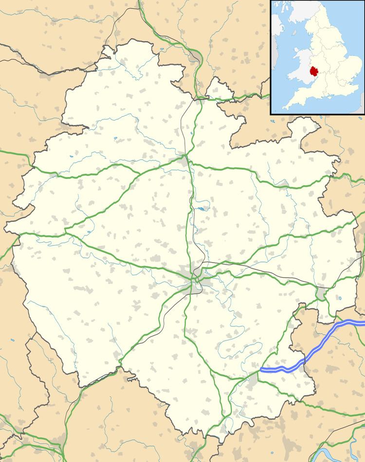
Walford, Letton and Newton (grid reference SO388725) is a civil parish in north Herefordshire, England, close to the border with Shropshire. The population of this civil parish at the 2011 census was 179.
Map of Walford, Letton and Newton, UK
Walford village lies just south of the River Teme about 2 km southwest of Leintwardine and 2 km northeast of Letton. The post town is Craven Arms and postcodes start with SY7. The A4113 Bromfield to Knighton road runs through the village.
At the time of the Domesday Survey Walford was known as 'Waliforde', which may mean 'ford of the Welshmen'.
The remains of a motte-and-bailey are to be found in the village.
The manor house, Letton Court, refers to another Letton 15 miles south but still in Herefordshire. This was for years the seat of the Blisset family. In 1927, the old house burned down and a new house built in its place.