
Vehicle registration WT University Gustav Siewerth Academy | Time zone CET (UTC+1) Population 165,211 (31 Dec 2014) Administrative region Freiburg | |
 | ||
Points of interest St Blaise Abbey - Black For, Herzogenhorn, Wutach Gorge, Heimatmuseum Hüsli, Dom Sankt Blasien Destinations | ||
Waldshut is a district (Kreis) in the south of Baden-Württemberg, Germany. Neighbouring districts are (clockwise from the west) Lörrach, Breisgau-Hochschwarzwald and Schwarzwald-Baar; followed in the south by the Swiss cantons of Schaffhausen, Zürich and Aargau.
Contents
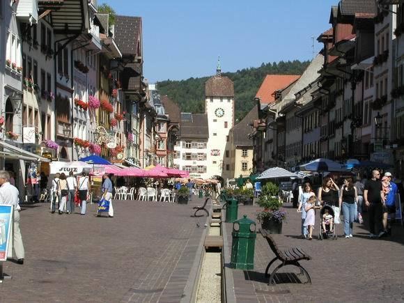
Map of Waldshut, Germany
History
The district dates to the Oberamt Waldshut, which was created when the area became part of the state of Baden in the beginning of the 19th century. After some changes it was converted to a district in 1938. In 1973 the districts Säckingen and Hochschwarzwald were dissolved and were partially added to the district Waldshut, which then grew to its current size.
Geography
The district covers the southern part of the Black Forest. The river Rhine forms most of the boundary to Switzerland.
References
Waldshut (district) Wikipedia(Text) CC BY-SA