
County Shawnee GNIS ID 479077 Zip code 66546 Area code 785 | Time zone Central (CST) (UTC-6) Elevation 291 m Local time Thursday 7:38 PM | |
 | ||
Weather 13°C, Wind NW at 14 km/h, 40% Humidity Area 12.95 km² (12.86 km² Land / 9 ha Water) | ||
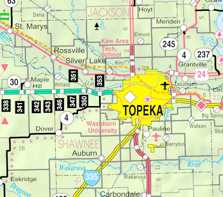
Wakarusa is an unincorporated community and census-designated place in Shawnee County, Kansas, United States. Wakarusa is 11 miles (18 km) south of downtown Topeka. Wakarusa has a post office with ZIP code 66546. As of the 2010 census, its population was 260. Wakarusa is also the name of an unincorporated community in adjacent Douglas County, Kansas, 6.6 mi (10.6 km) southwest of downtown Lawrence and the name of the township that includes Lawrence, Kansas.
Map of Wakarusa, KS 66546, USA
Wakarusa was founded in 1858.
References
Wakarusa, Kansas Wikipedia(Text) CC BY-SA