Country New Zealand Region Southland Time zone NZST (UTC+12) Local time Friday 9:55 AM | Territorial authority Postcode(s) 9883 Area code 03 | |
 | ||
Weather 10°C, Wind W at 13 km/h, 88% Humidity | ||
Waipango is a farming locality on the flat between the lower reaches of the Pourakino and Aparima Rivers. 8 km north-west of Riverton, 14 km south-west of Thornbury, 14 km north-east of Colac Bay. Name means lit.: Wai: water, stream; pango: black.
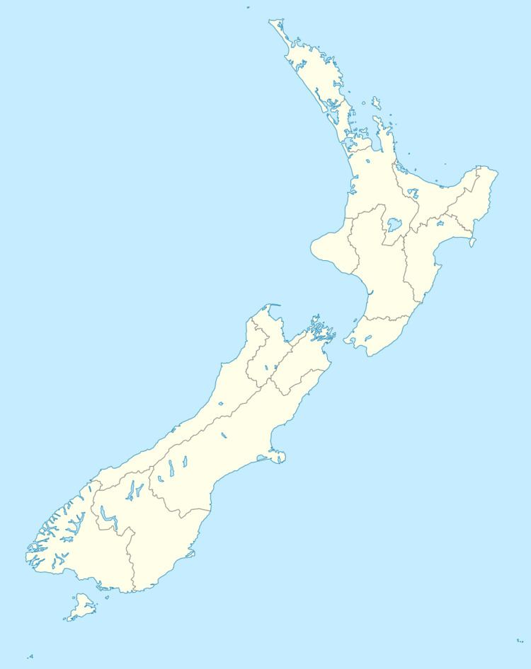
Map of Waipango, New Zealand
Waipango is not far from:
References
Waipango Wikipedia(Text) CC BY-SA
