
 | ||
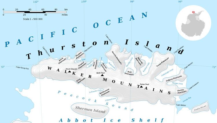
Wagoner Inlet is an ice-filled inlet between Tinglof and Starr Peninsulas on the north side of Thurston Island. Delineated from aerial photos taken by U.S. Navy Operation Highjump in December 1946. Named by Advisory Committee on Antarctic Names (US-ACAN) for Charles Wagoner, seaman on the USS Glacier during the U.S. Navy Bellingshausen Sea Expedition, a member of the field party engaged in scientific work on Thurston Island in February 1960.
Maps
References
Wagoner Inlet Wikipedia(Text) CC BY-SA