
Time zone IST (UTC+5:30) Elevation 383 m Local time Thursday 11:24 PM | Taluka Shahpur Population 7,349 (2001) | |
 | ||
Weather 31°C, Wind N at 6 km/h, 26% Humidity | ||
Wadgera is a panchayat village in the southern state of Karnataka, India. Administratively, Wadgera is under the Shahapur Taluka of Yadgir district in Karnataka. Wadgera is 23 km by road south of the town of Yadgir and 39 km by road southeast of the town of Shahapur. The nearest rail station is Narayanpet Road Station and the nearest railhead is in Yadgir.
Contents
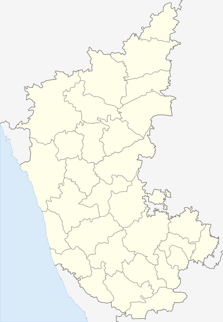
Map of Wadgera, Karnataka
There is one village in the gram panchayat: Wagera.
Demographics
As of 2001 India census, Wadgera had a population of 7,349 with 3,652 males and 3,697 females.
Education
The government pre-university college at Vadagera has twice been shifted away to other locales.
References
Wadgera, Yadgir Wikipedia(Text) CC BY-SA