
Area code(s) 304 & 681 Elevation 312 m | Time zone Eastern (EST) (UTC-5) GNIS feature ID 1548701 Local time Thursday 1:52 PM | |
 | ||
Weather 13°C, Wind W at 19 km/h, 67% Humidity | ||
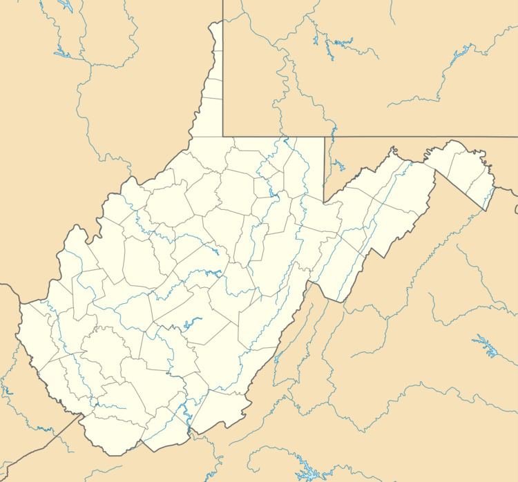
Wadestown — formerly West Warren — is an unincorporated community in Monongalia County, West Virginia, USA. It is located on West Virginia Route 7 about 7.5 miles (12.1 km) west-southwest of Blacksville.
Contents
Map of Wadestown, WV 26590, USA
History
Wadestown was first called West Warren. It became Wadestown sometime after 1825 when Thomas B. Wade (1787-1869) — a locally prominent physician, farmer and landowner — bought 232 acres of land from his brother Elisha Wade (1795-1843) on the Left Fork of Dunkard Creek for 100 dollars. He sold many of the lots (at least 12) from this land. The Bank of Wadestown and the store building where Morris J. Garrison kept store for many years are both located on lots originally laid out by Thomas Wade. Wade later moved on to Indiana, then Iowa, where he died.