Postcode(s) 7030 Postal code 7030 | Local time Friday 3:23 AM | |
 | ||
Weather 10°C, Wind N at 13 km/h, 72% Humidity | ||
Waddamana is a former 'hydro-town' in Tasmania. It is at the foot of the southern side of the Central Plateau of Tasmania.
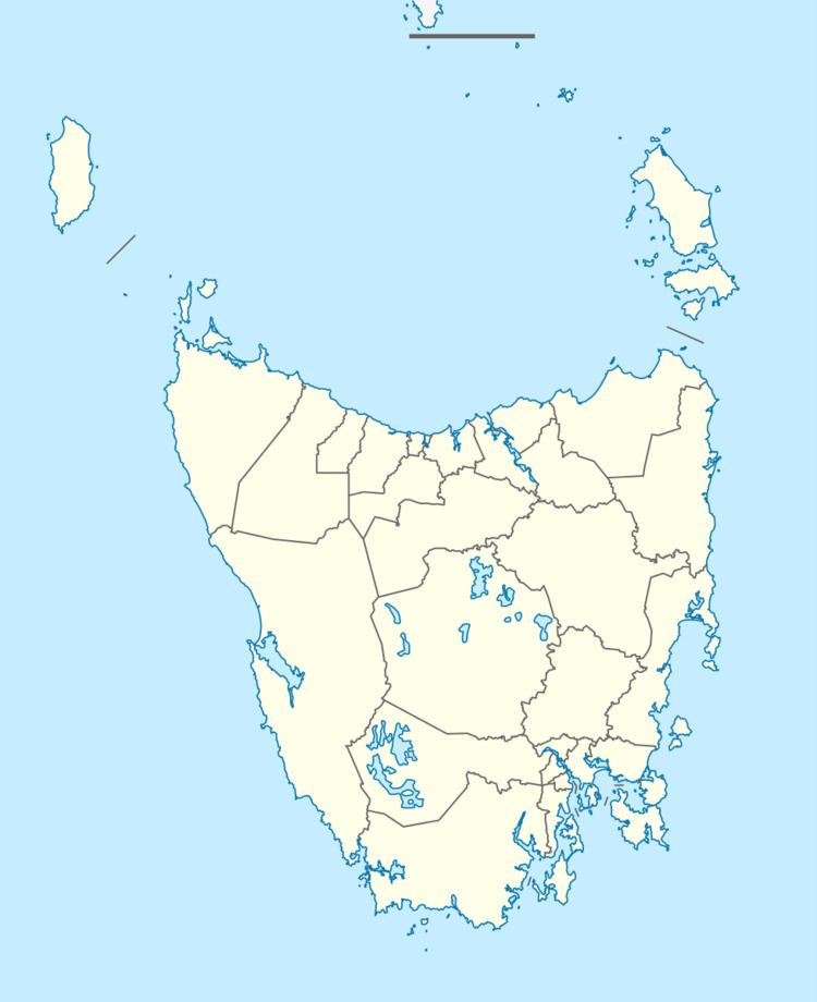
Map of Waddamana TAS 7030, Australia
It flourished with a population of over 100 in the early 1900s when the power plant situated there was being built. Waddamana Post Office opened on 18 August 1913 and closed in 1971. Its current permanent population stands at four or five.
It consists of two decommissioned hydro-electric power stations (see Waddamana power stations), one of which is a museum, and several cottages, most of which are only used by guests. Schools often take their students to Waddamana for camps. It has gained a reputation for its harsh weather - it often snows and icing was a problem when the hydro plants were still in use.
The Tasmanian Aboriginal name waddamana means 'noisy water'.
