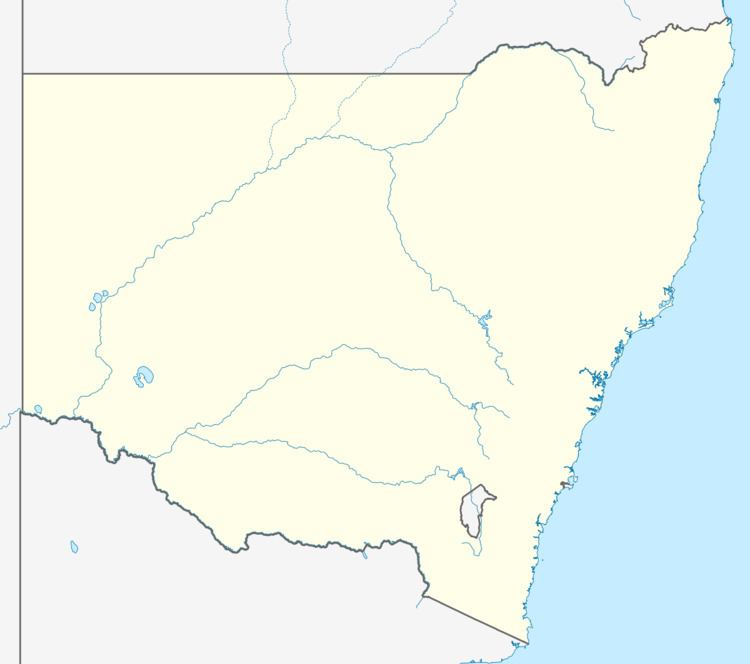
Population 1,776 (2011 census) Area 4.1 km (1.6 sq mi) Parish Munmorah | Postcode(s) 2259 Postal code 2259 | |
 | ||
Weather 16°C, Wind N at 6 km/h, 85% Humidity | ||
Wadalba is a suburb of the Central Coast region of New South Wales, Australia. It is part of the Central Coast Council local government area.
Map of Wadalba NSW 2259, Australia
It contains Wadalba Community School as well as a mobile home village, a rural pet supply store, Mitre 10, a Coles shopping centre, a childcare centre, liquor store, golf range and caravan park.
References
Wadalba, New South Wales Wikipedia(Text) CC BY-SA
