
Postcode(s) 3637 Waaia Numurkah Population 376 (2011 census) | Postal code 3637 Local time Friday 1:59 AM Federal division Division of Murray | |
 | ||
Location 228 km (142 mi) N of Melbourne38 km (24 mi) N of Shepparton69 km (43 mi) E of Echuca14 km (9 mi) E of Nathalia Weather 12°C, Wind NE at 8 km/h, 66% Humidity | ||
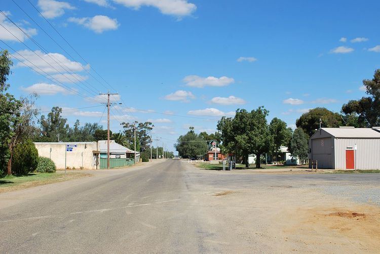
Waaia (/ˈweɪaɪ/ WAY-eye) is a town in northern Victoria, Australia in the Shire of Moira local government area, 228 kilometres (142 mi) north of the state capital, Melbourne. The area is home to mainly irrigated dairy farms. At the 2011 census, Waaia and the surrounding area had a population of 376.
Map of Waaia VIC 3637, Australia
Waaia was established in the late 1880s to cater for the increasing rural population of the surrounding area following the opening of the railway line in October 1888, and a Post Office opened on 17 December that year. The rail line closed in 1986.
The town consists of a school (established 1890), a hotel and an Australian rules football ground (the town has a team in the Picola & District Football League), along with around 10 houses.
Waaia is home to an annual tractor pull, organised by the local community action group.