
Area 14.68 km² Population 709 (2009) | Postal code 393 01 to 394 05 Elevation 613 m Local time Wednesday 12:53 PM | |
 | ||
Weather 8°C, Wind NW at 16 km/h, 82% Humidity | ||
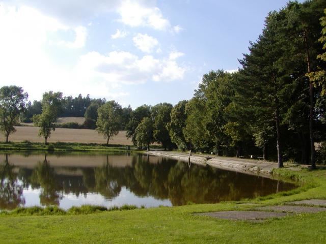
Vyskytná (German Böhmisch Gießhübel) is a village and municipality (obec) in Pelhřimov District in the Vysočina Region of the Czech Republic.
Map of Vyskytn%C3%A1, Czechia
The municipality covers an area of 14.68 square kilometres (5.67 sq mi), and has a population of 709 (as at 15 May 2009).
Vyskytná lies approximately 11 kilometres (7 mi) east of Pelhřimov, 17 km (11 mi) west of Jihlava, and 100 km (62 mi) south-east of Prague.
The first cited evidence goes as far back as 1226 and the first written evidence is from the 13th century. The village was originally a town, which was damaged during the Hussite wars. There is a village green, a school, 2 pubs, a camp, and a Church. The Church was dedicated in 1290 and it was built in a Gothic style.
References
Vyskytná Wikipedia(Text) CC BY-SA