
Coat of arms Flag Area 15.95 km² | Urban okrug Voskhod Urban Okrug Local time Wednesday 7:17 AM | |
 | ||
Administrative center of closed administrative-territorial formation of Voskhod Weather 2°C, Wind S at 10 km/h, 96% Humidity | ||
Voskhod (Russian: Восхо́д) is a closed urban locality (a settlement) in Moscow Oblast, Russia. It was formerly called Novopetrovsk-2 (Новопетровск-2). Population: 2,007 (2010 Census); 1,785 (2002 Census);
Contents
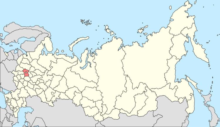
Map of Voskhod, Moskovsky, Russia, 143562
Overview
It is located near the Moscow-Volokolamsk highway and the Novorozhdestvensky Forest, and was involved in the November 1941 Battle of Moscow between Germany and the Soviet Union.
Administrative and municipal status
Within the administrative divisions framework, it is incorporated as the closed administrative-territorial formation of Voskhod—an administrative unit with the status equal to that of the districts. As a municipal division, the closed administrative-territorial formation of Voskhod is incorporated as Voskhod Urban Okrug.
References
Voskhod, Moscow Oblast Wikipedia(Text) CC BY-SA