
 | ||
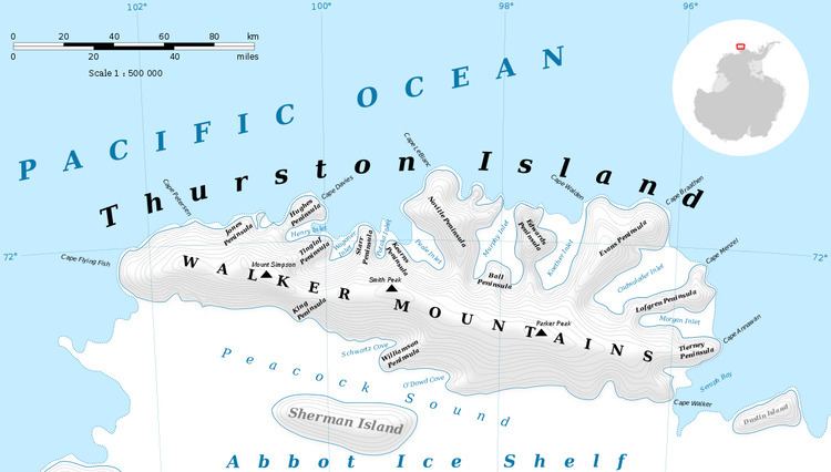
Von der Wall Point (72°32′S 98°40′W) is a low ice-covered point on the south side of Thurston Island. It extends into Peacock Sound toward the northeast extremity of Sherman Island. Delineated from aerial photos taken by U.S. Navy Operation Highjump in December 1946. Named by Advisory Committee on Antarctic Names (US-ACAN) for J.H. Von der Wall, tractor driver and mechanic with the Byrd Antarctic Expedition in 1933-35.
Maps
This article incorporates public domain material from the United States Geological Survey document "Von der Wall Point" (content from the Geographic Names Information System).
References
Von der Wall Point Wikipedia(Text) CC BY-SA