
Country Ukraine Established 1572 Time zone EET (UTC+2) Area 3.01 km² Province Lviv Oblast | District Skole Raion Elevation/(average value of) 673 m (2,208 ft) Postal code 82663 Local time Wednesday 2:39 AM | |
 | ||
Weather 7°C, Wind W at 0 km/h, 77% Humidity | ||
Volosyanka (Ukrainian: Волося́нка) — village (selo) in Skole Raion, Lviv Oblast, of Western Ukraine. It is located in the Ukrainian Carpathians within the limits the Eastern Beskids. The population of village is 1452 persons. Local government – Volosiankivska village council. Volosiankivska village council includes village Khashchovania and Yalynkuvate.
Contents
Map of Volosyanka, Lvivska, Ukraine
The first written mention of Volosyanka which dates from the year 1572.
Geography
Village are located in the valley of the rivers Slavka River and Yalynkuvata River. West of the village are the vertices Vysokyy Verh (1,242 metres (4,070 ft)), Plischka (1,032.2 metres (3,386 ft)), Mount Yarochysche (987 metres (3,240 ft)) and Mount Yalyna (1,164.5 metres (3,821 ft)). In the south is Mount Ilsa (1,064.5 metres (3,492 ft)).
The village Volosyanka is situated in the 145 kilometres (90 mi) from the regional center Lviv, 36 kilometres (22 mi) from the district center Skole, and 10 kilometres (6.2 mi) from Slavske.
Attractions
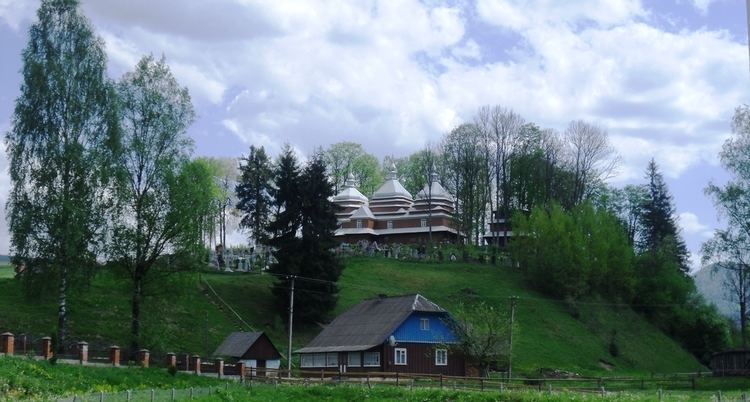
In this village there are an architectural monument of national importance. That is the wooden Church of the Holy Eucharist and a belfry.