
Country United States City St. Louis ZIP code(s) Part of 63112 Area 39 ha Area code 314 | State Missouri Wards 26 Website stlouis-mo.gov Population 960 (2010) | |
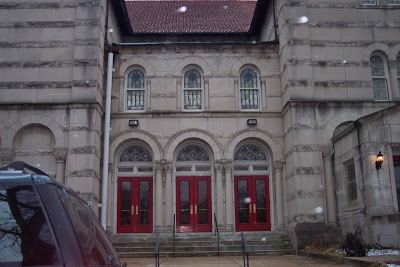 | ||
Visitation Park is a neighborhood of St. Louis, Missouri. The neighborhood is defined by Maple Avenue on the North, Delmar Boulevard on the South, Union Boulevard on the East, and Belt Avenue on the West. Visitation Park is a small neighborhood nestled southeast of the West End neighborhood, just north of DeBaliviere Place.
Contents
Map of Visitation Park, St. Louis, MO, USA
Demographics
In 2010 Visitation Park's racial makeup was 90.4% Black, 5.8% White, 0.1% Native American, 0.4% Asian, 2.6% Two or More Races, and 0.6% Some Other Race. 0.3% of the people were of Hispanic or Latino origin.
References
Visitation Park, St. Louis Wikipedia(Text) CC BY-SA