
Country Finland Time zone EET (UTC+2) Area 1,299 km² Region Pirkanmaa | Charter 1868 Website www.virrat.fi Local time Tuesday 5:31 AM Municipal tax rate 19.75% | |
 | ||
Area rank 63rd largest in Finland Weather 1°C, Wind S at 13 km/h, 91% Humidity Sub-region Upper Pirkanmaa sub-region | ||
Virrat (Swedish: Virdois) is a town and municipality of Finland.
Map of 34800 Virrat, Finland
It is part of the Pirkanmaa region. The town has a population of 6,972 (31 March 2016) and covers an area of 1,162.57 square kilometres (448.87 sq mi) of which 136.73 km2 (52.79 sq mi) is water. The population density is 6 inhabitants per square kilometre (16/sq mi). Apart from the town of Virrat itself, the administratively defined municipality is largely rural, and includes the villages of Äijänneva, Härkönen Jäähdyspohja, Killinkoski, Koro, Kotala, Kurjenkylä, Liedenpohja, Ohtola, Vaskuu and Vaskivesi.
The municipality is unilingually Finnish. Virrat crater on Mars is named after it.
The town grew rapidly in the middle years of the twentieth century, and by 1950 the population reached more than 12,000. Virrat acquired town status in 1977, although it had received the right to hold markets three years earlier, in 1974. More recently the population level has been adversely impacted by the drift of employment opportunities and people to the larger towns.
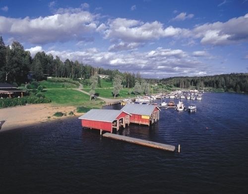
Major lakes in the area are Toisvesi, beside which the town of Virrat is located, and Tarjanne at the border of the municipalities of Virrat, Mänttä-Vilppula and Ruovesi.