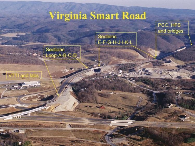
Neha Patil (Editor)

Virginia Smart Road

Updated on
Edit
Like
Comment
Share on FacebookTweet on TwitterShare on LinkedInShare on Reddit
Length
  
3.5 km

Virginia Smart Road Virginia Smart Road Concrete Construction Magazine

Existed:
  
March 2000 (phase one) – present

West end:
  
Western turnaround loop at Transportation Research Drive

East end:
  
Eastern turnaround loop near Wilson Creek Bridge

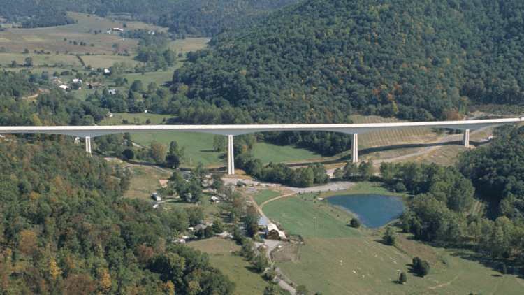
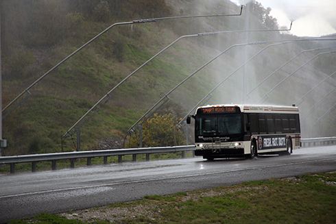
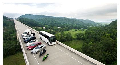
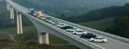
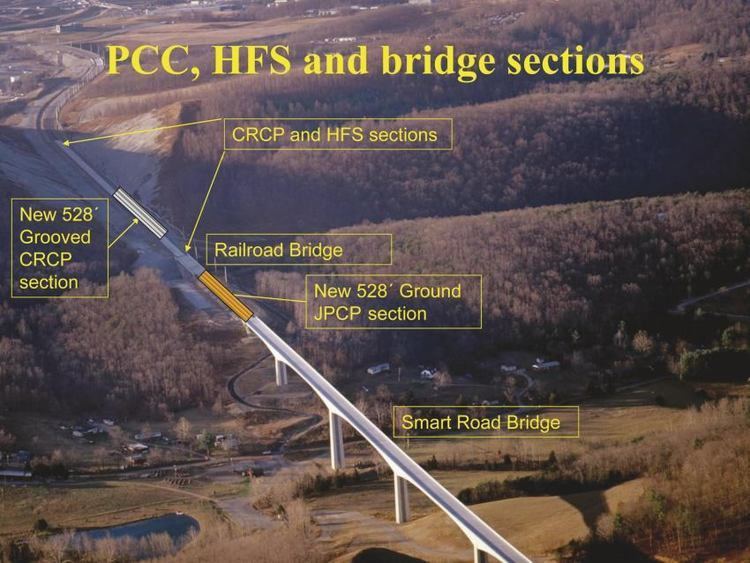
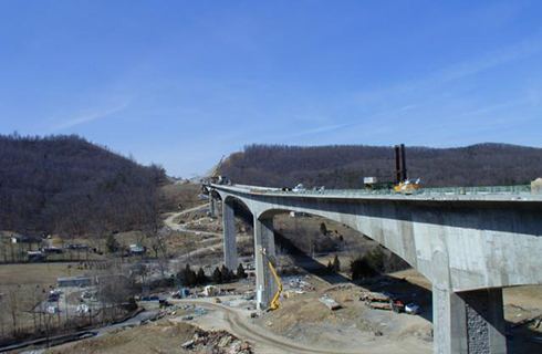
The Virginia Smart Road, also known as simply the Smart Road or Smart Highway, is a short, limited access road in Montgomery County, Virginia, used for the testing of pavement technologies and as a proving ground for new transportation technologies. The Smart Road is currently a 2.2-mile (3.5 km) stretch of road with turn-around loops at either end. Eventually, the road will be extended to a total of 5.7 miles (9.2 km), which will directly connect U.S. Route 460 in Blacksburg to Interstate 81 with an interchange near mile marker 121; however, there is no set time frame for completion. The Wilson Creek Bridge was built for the Smart Road and, at 175 feet (53 m) tall, is the second tallest bridge in Virginia. The road and bridge are operated and maintained by the Virginia Department of Transportation. It is also part of the Proposed Interstate 73 Corridor.

Virginia Smart Road Virginia Tech Transportation Institute to celebrate 25th year with

Features

Smart Road features and operations include, but are not limited to:

Virginia Smart Road FIGG Smart Road Bridge

  • A 2.2-mile, controlled-access test track built to interstate standards
  • Two paved lanes
  • Three bridges, including the Smart Road Bridge (the second tallest state-maintained bridge in Virginia)
  • Full-time staff that coordinate all road activities
  • 24/7 access control and oversight
  • Centralized communications
  • Lighting and weather system controls
  • Safety assurance and surveillance
  • Fourteen pavement sections, including an open-grade friction course
  • In-pavement sensors (e.g., moisture, temperature, strain, vibration, weigh-in-motion)
  • Zero-crown pavement section designed for flooded pavement testing
  • An American Association of State Highway and Transportation Officials (AASHTO)-designated surface friction testing facility
  • Seventy-five weather-making towers accessible on crowned and zero-crown pavement sections
  • Artificial snow production of up to four inches per hour (based on suitable weather conditions)
  • Production of differing intensities of rain with varying droplet sizes
  • Fog production
  • Two weather stations with official National Oceanic and Atmospheric Administration (NOAA) weather available within one mile
  • Variable pole spacing designed to replicate 95 percent of national highway systems
  • Multiple luminaire heads, including light-emitting diode (LED) modules
  • A wireless mesh network variable control (i.e., luminaire dimming)
  • A high-bandwidth fiber network
  • A differential GPS base station
  • Complete signal phase and timing (SPaT) using remote controls
  • Wide shoulders for safe maneuvering during experimental testing

  • Virginia Smart Road Photos from Smart Road Open House Virginia Tech Transportation

    Virginia Smart Road Virginia Smart Road Concrete Construction Magazine Roadways

    Virginia Smart Road Short Road Goes a Long Way Progressive Engineer Magazine

    Virginia Smart Road Virginia Tech Magazine Feature

    Virginia Smart Road VTTIs Smart road eceblogger

    References

    Virginia Smart Road Wikipedia