
Time zone CST (UTC-6) Elevation 263 m Population 1,937 (2010) | Established November 6, 1849 ZIP codes 60119, 60151 Area 90.7 km² Local time Monday 6:14 PM | |
 | ||
Weather 9°C, Wind NE at 18 km/h, 96% Humidity | ||
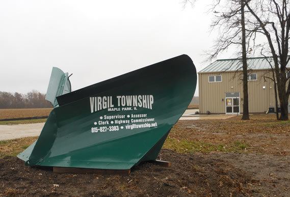
Virgil Township is one of sixteen townships in Kane County, Illinois, USA. As of the 2010 census, its population was 1,937 and it contained 766 housing units. The land is primarily used for agriculture.
Contents
- Map of Virgil Township IL 60151 USA
- Geography
- Cities towns villages
- Extinct settlements
- Cemeteries
- Airports and landing strips
- School districts
- Political districts
- References
Map of Virgil Township, IL 60151, USA
Geography
According to the 2010 census, the township has a total area of 35.02 square miles (90.7 km2), of which 35.01 square miles (90.7 km2) (or 99.97%) is land and 0.01 square miles (0.026 km2) (or 0.03%) is water.
Cities, towns, villages
Extinct settlements
Cemeteries
The township contains these two cemeteries: Saints Peter and Paul's Catholic Cemetery and Thatcher Cemetery.
Airports and landing strips
School districts
Political districts
References
Virgil Township, Kane County, Illinois Wikipedia(Text) CC BY-SA