
Time zone CET (UTC+1) | Province Namur Elevation 119 m (390 ft) | |
 | ||
Villeret is a hamlet in the municipality of Jemeppe-sur-Sambre (in the province of Namur), Wallonia Region, Belgium.
Contents
Map of Villeret, 5190 Jemeppe-sur-Sambre, Belgium
Villeret is part of the village of Saint-Martin and is located at the confluence of the east flowing Ligny and another stream flowing down from the north (through Bothey). The Ligny then continues eastwards into the Orneau.
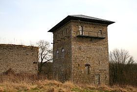
Sights
History
The hamlet of Villeret was on the extreme-left of the Prussian line during the Battle of Ligny on 16 June 1815. It remained in Prussian possession thorough out the battle.
References
Villeret, Belgium Wikipedia(Text) CC BY-SA