
Time zone CET (UTC+1) Population 320 (2006) | Region Occitanie Canton Argelès-Gazost Area 20.46 km² Local time Monday 5:32 PM | |
 | ||
Intercommunality Vallée d'Argelès-Gazost Weather 15°C, Wind N at 11 km/h, 70% Humidity | ||
Villelongue is a commune in the Hautes-Pyrénées department in south-western France.
Map of 65260 Villelongue, France
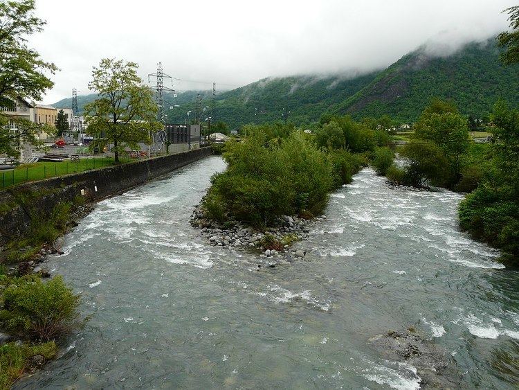
Villelongue is situated on the flank of the Hautacam mountain, around a stream called the Ruisseau d'Isaby, and descends to the Gave de Gavarnie torrent.
It consists of a main village with a smaller hamlet above called Ortiac. Ortiac boasts a charming medieval chapel. The woods above Ortiac conceal the Abbey of Saint-Orens, now in ruins.
Villelongue has considerably expanded in recent years, as new tracts are open to development and as the road infrastructure have developed to allow inhabitants to commute to Lourdes and Tarbes.
Villelongue is unusual among local towns in having a latinate name, rather than a name deriving from Bigourdan (the local dialect of the Occitan language). The name is said to derive from a Latin villa (i.e. a large farm) dating from late antiquity, situated in the lower part of the modern village, in an area known as "Las Longas".