
Population (2008) 284 Local time Monday 4:35 PM | Area 77.51 km² | |
 | ||
Weather 13°C, Wind N at 8 km/h, 30% Humidity Points of interest Pic de Neige Cordier, Grande Ruine, Col du Lautaret, Roche Faurio, Glacier d'Arsine | ||
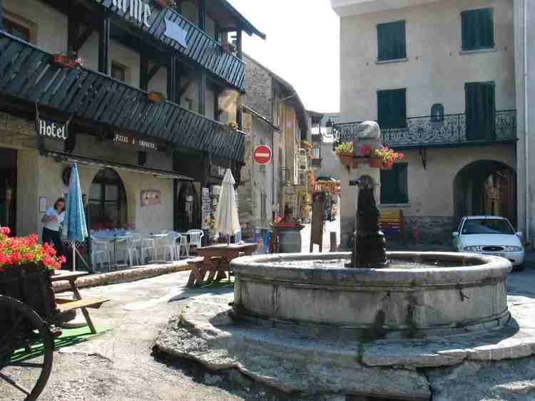
Villar-d'Arêne is a commune in the Hautes-Alpes department in southeastern France, between Grenoble and Briançon. It is in the French Alps, in Massif des Écrins. Near this village located in the Romanche valey, there is La Grave and Col du Lautaret. The access of the valley and its communes is departmental route 1091 (ex-national route 91) (Grenoble – Le Bourg-d'Oisans – Briançon).
Contents
Map of Villar-d'Ar%C3%AAne, France
Sights
References
Villar-d'Arêne Wikipedia(Text) CC BY-SA