
 | ||
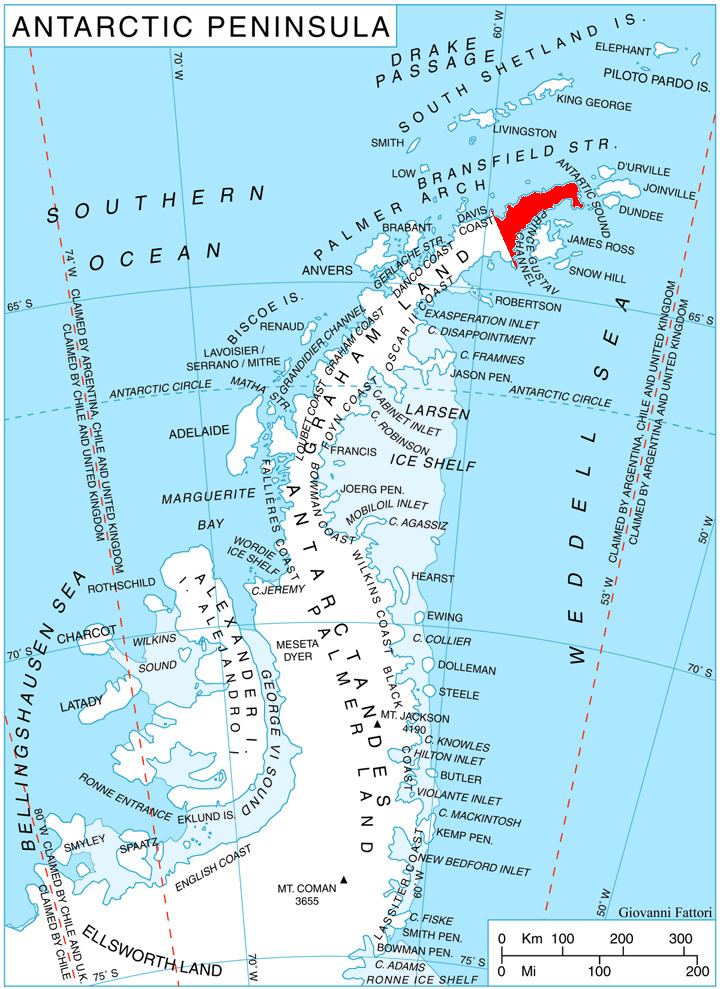
View Point (63°33′S 57°22′W) is 150m long eastern tip of a promontory, on Antarctica, forming the west side of the entrance to Duse Bay on the south coast of Trinity Peninsula, on the northern portion of the Antarctic Peninsula. Situated 6.79 km east of Skomlya Hill and 6.45 km southeast of Boil Point. Discovered by a party under J. Gunnar Andersson of the Swedish Antarctic Expedition, 1901-04. So named by the Falkland Islands Dependencies Survey (FIDS) following their survey of the area in 1945 because from this promontory, good panoramic photographs were obtained.
Map
This article incorporates public domain material from the United States Geological Survey document "View Point" (content from the Geographic Names Information System).
References
View Point Wikipedia(Text) CC BY-SA