
Time zone CST (UTC-6) Elevation 221 m Local time Sunday 5:52 PM | Established About 1853 ZIP codes 60531, 60552, 60556 Area 85.13 km² Population 299 (2010) | |
 | ||
Weather 13°C, Wind E at 8 km/h, 66% Humidity | ||
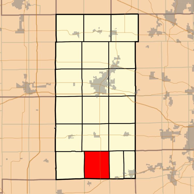
Victor Township is one of nineteen townships in DeKalb County, Illinois, USA. As of the 2010 census, its population was 299 and it contained 130 housing units. Victor Township was formed from Clinton Township around 1853.
Contents
- Map of Victor Township IL USA
- Geography
- Cemeteries
- Airports and landing strips
- School districts
- Political districts
- References
Map of Victor Township, IL, USA
Geography
According to the 2010 census, the township has a total area of 32.87 square miles (85.1 km2), of which 32.81 square miles (85.0 km2) (or 99.82%) is land and 0.06 square miles (0.16 km2) (or 0.18%) is water.
Cemeteries
The township contains Victor Cemetery.
Airports and landing strips
School districts
Political districts
References
Victor Township, DeKalb County, Illinois Wikipedia(Text) CC BY-SA