
 | ||
Similar Via Popilia, Via Aemilia Scauri, Via Portuensis, Via Traiana Nova, Via Aquitania | ||
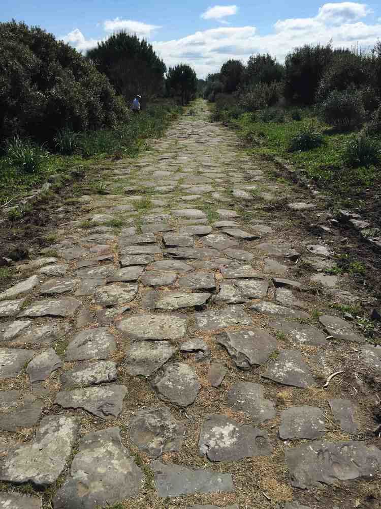
Via Severiana was an ancient Roman road in central Italy leading from Latium to Campania (now in Lazio), running southeast from Ostia to Terracina, a distance of 80 Roman miles (c. 118 kilometres (73 mi)) along the coast. It took its name from the restoration of existing roads with the work carried out in 198 AD during the reign of emperor Septimius Severus.
Map of via Severiana, Italy
It ran along the shore at first, just behind the line of villas which fronted the sea, and are now some 1 kilometre (0.62 mi) inland, or even upon its edge (for an inscription records its being damaged by the waves). Farther southeast it seems to have kept rather more distant from the shore, and it probably kept within the lagoons below the Circean promontory. Cities connected by the Via Severiana included Portus (the starting point), Ostia, Laurentum, Lavinium, Antium (modern Anzio and Nettuno), Astura (modern Torre Astura) and Tarracina.
Although the remains of the via Severiana are scanty, there are traces of at least one Roman bridge along the road, which crosses the Numicus River 2 kilometres (1.2 mi) southeast of Ostia.