
Municipality Vestnes Municipality Elevation 9 m | District Romsdal Time zone CET (UTC+01:00) Area 187 ha | |
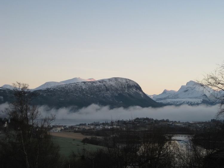 | ||
Vestnes (sometimes called Helland) is the administrative centre of Vestnes Municipality in Møre og Romsdal county, Norway. The village is located on the western shore of the Tresfjorden, near where the fjord empties into the main Romsdal Fjord. The village lies along the European route E39 highway. The 1.87-square-kilometre (460-acre) village has a population (2013) of 2,241 which gives the village a population density of 1,198 inhabitants per square kilometre (3,100/sq mi), and making it the largest settlement in the whole municipality.
Map of 6390 Vestnes, Norway
The villages of Vik and Tomra lie about 8 kilometres (5.0 mi) to the southwest, the village of Tresfjord lies about 12 kilometres (7.5 mi) to the south, and the village of Vikebukt lies directly across the Tresfjorden from Vestnes. In 2014-2015, the new Tresfjord Bridge will be completed, connecting Vikebukt to the southern part of Vestnes village by bridge rather than a long drive all the way around the fjord.
The village of Vestnes is actually located on two peninsulas separated by the Flatevågen bay. On the eastern end of the bay, the two peninsulas almost meet, forming a 70-metre (230 ft) wide channel connecting Flatevågen with the main Tresfjorden.
The village has a shopping center, some industries, municipal services, and Vestnes Church. Vestnesavisa is the local municipal newspaper, based in Vestnes.