
 | ||
Similar | ||
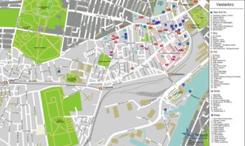
Vesterbro is one of the 15 administrative, statistical, and city tax districts (bydele) comprising the municipality of Copenhagen, Denmark. It covers an area of 3.76 km², and has a population of 51,466 and a population density of 13,688 per km².
Contents
Neighboring city districts are:
The Vesterbro district
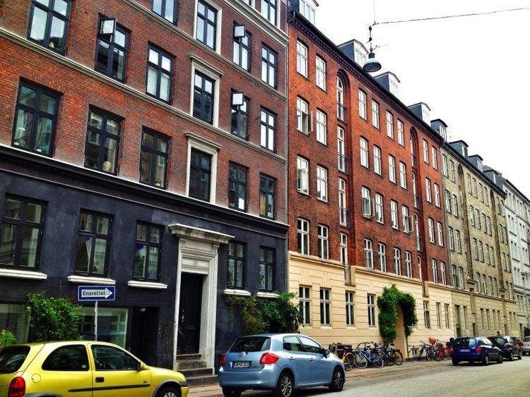
Vesterbro is located just outside Copenhagen’s city center—the Inner City or Indre By—making it a very attractive place to live, as are the other areas immediately outside the center: the Indre Nørrebro (“Inner Nørrebro”), Indre Østerbro (“Inner Østerbro”), Frederiksberg, and Christianshavn.
The district is located west of the city center at the location of the old Western Gate (‘’Vesterport’’), access way into the old city. The gate, along with the other three gates into the old city-- Østerport ("Eastern Gate") near the current Østerport station), Nørreport ("Northern Gate") near the current Nørreport station, and Amagerport ("Amager Gate", i.e. functionally the Southern Gate) between Christianshavn and the island of Amager-- were dismantled in 1856.
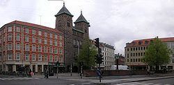
The name "Vesterbro" literally translates into English as "Western Bridge", and refers to the paved (Danish, brolagt) road leading into the city through the Western Gate. Vesterbro is the area of the bridge into the city of Copenhagen, which was a much smaller city at the time when the name was created. At that time, the city was ringed by a moat which exist today as the Tivoli lake and others.
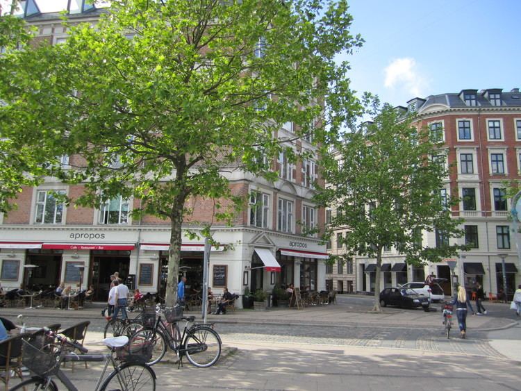
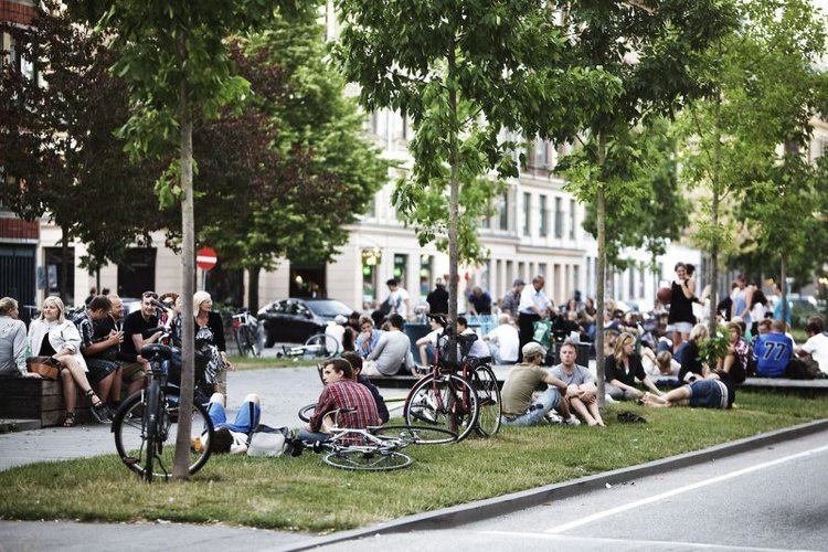
The area is under the process of being renovated to a great extent and the renovation will end in 2017. The environment and sustainability is one of the essential reasons for the renovation. Vesterbro has a central location that makes it a favored place to live. It has had a reputation as a center for prostitution and drug trafficking, where only the poorest would live, and there is still a certain amount of these activities in the area, especially on Istedgade and near Halmtorvet, but there has been police focus on clearing up troublesome areas. The area is also known as the easy place to get drugs in Copenhagen.
History
Vesterbro was originally the name of the paved country road that led into the city center from the west. Few country roads in those days were paved, but the amount of traffic into the capital necessitated it.
Until 1853 after the cholera epidemic that had hit Copenhagen, there had been a "no build" zone outside Copenhagen’s old part of town, the part now known as the Inner City or Indre By. This Demarcation Line (Demarkationslinien) indicated an area beyond the city’s centuries old defense wall system where Copenhagen’s defense forces could strike the enemy unhindered.
Until then there was little development outside the center of the city, except with special permission. Even though much of the area was used as grazing land, by the 1780s there were approx. 1,000 inhabitants of the area, as well as a number of commercial enterprises (lumberyards, tobacco farm, several industrial buildings), and the house of the Royal Copenhagen Shooting Society and Danish Brotherhood (‘’Det kongelige kjøbenhavnske Skydeselskab og danske Broderskabs’’). The society received permission to build outside the old city limits in the 1750s, and the building has housed the Copenhagen City Museum since 1956.
With the abolishment of the demarcation line in 1853, the dismantling of the old fortifications that ringed the center of town in the late 1860s, and the removal of the old entrance gates to the city in 1856, the population quickly spread out to the “as yet” undeveloped areas outside the center. This movement came first to the inner ring of areas outside the center: the Indre Østerbro ("Inner Østerbro"), the Indre Nørrebro ("Inner Nørrebro"), Vesterbro, and Frederiksberg.
At that time the name Vesterbro began being used for the entire area around the street named Vesterbro, and late in the 1800s the name of the street itself was changed to Vesterbrogade ("Vesterbro Street").