
Country Philippines Barangays ZIP code 8509 Mayor Salimar T. Mondejar Province Agusan del Sur | Region Caraga (Region XIII) Time zone PST (UTC+8) Area 385.4 km² Local time Sunday 9:53 PM | |
 | ||
District 2nd district of Agusan del Sur Weather 24°C, Wind N at 3 km/h, 92% Humidity | ||
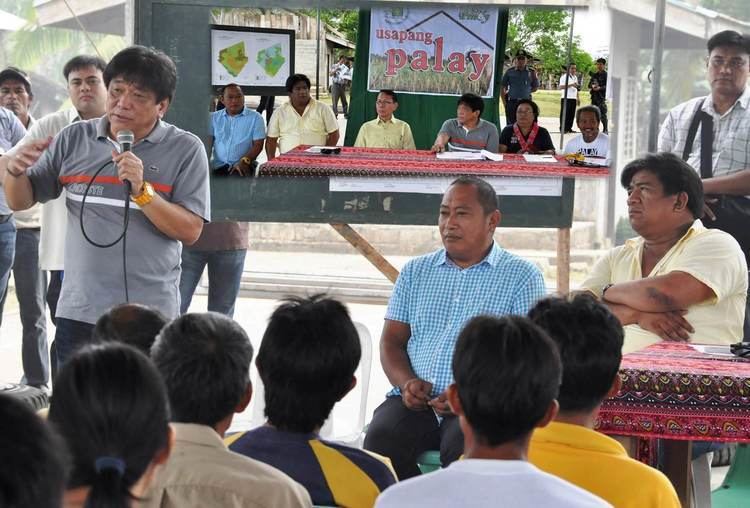
Veruela, officially the Municipality of Veruela (Cebuano: Lungsod sa Veruela; Filipino: Bayan ng Veruela), is a municipality in the province of Agusan del Sur in the Caraga (Region XIII) of the Philippines. The population was 43,706 at the 2015 census. In the 2016 electoral roll, it had 20,675 registered voters.
Contents
Map of Veruela, Agusan del Sur, Philippines
History
Veruela is considered the oldest town of upper Agusan del Sur. It was believed the name "Veruela" was derived from the word "virus", as the entire area was suffering from smallpox and cholera in the late 18th century when the Spanish missionaries encountered the tribe. From then on, the name Veruela existed out of the Spanish word La Verus.
The Manobo tribes later moved to Manning, also known as Linongsuran along the Agusan River. In 1916 however, a great earthquake destroyed the settlement leaving no trace of the it, forcing the survivors to evacuate and reorganize themselves into another place, now the barangay poblacion of the municipality.
In the 18th century, the Muslim tribes in Davao invaded the Manobos in Agusan. The Manobos fought against the Muslims. The first known leader of the inhabitants was Eladio Manguyod, a strong and influential datu of the Manobo tribe, who led his people to victory after a hard fought battle that drove the Muslims out of Agusan. It was also during those times when the tribe was converted into Christianity. The inhabitants owed their victories to Datu Manguyod as well as their patron, Saint John.
Veruela became a municipality through Executive Order No. 147 proclaimed by President Diosdado Macapagal on March 31, 1965 during the term of Congressman Guillermo Sanchez, who once also served as mayor of the town. Since its formal creation as a municipality, Veruela had undergone a series of eight different administrations.
The municipality of Veruela has a silent dispute with the nearby province of Compostela Valley regarding the boundary between the two in Barangay Del Monte. The local governments are trying to solve the issue amicably.
Geography
Veruela is located at 8°04′N 125°58′E.
According to the Philippine Statistics Authority, the municipality has a land area of 385.45 square kilometres (148.82 sq mi) constituting 3.86% of the 9,989.52-square-kilometre- (3,856.98 sq mi) total area of Agusan del Sur.
Barangays
Veruela is politically subdivided into 20 barangays.
Demographics
In the 2015 census, Veruela had a population of 43,706. The population density was 110 inhabitants per square kilometre (280/sq mi).
In the 2016 electoral roll, it had 20,675 registered voters.