
District Thabo Mofutsanyane Local time Sunday 10:57 AM PO box 9882 | Area code 058 | |
 | ||
Weather 22°C, Wind NW at 16 km/h, 41% Humidity | ||
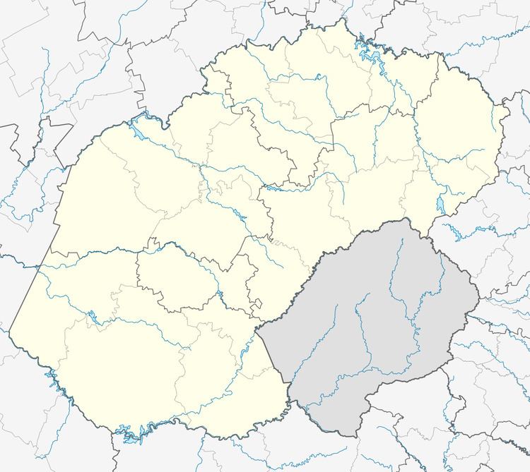
Verkykerskop is a town in Phumelela Local Municipality in the Free State province of South Africa, located on the R722. The town is 40 km from Harrismith, just off the N3.
Map of Verkykerskop, South Africa
Village some 35 km east-south-east of Warden and 40 km south-west of Memel. Afrikaans for 'spy hill', literally 'farlooker's hill', the name appears to have been taken over from Tafelkop, a hill 2,153 m high to the south-west of it.
Sitting on a hill on the Free State side of the border with KwaZulu-Natal, it is described as a tiny village with fewer than 20 residents in town, and a few hundred more living in surrounding villages. It is known for having one of the lowest crime levels in South Africa.
References
Verkykerskop Wikipedia(Text) CC BY-SA