
Postal code 33002 Population 3,810 (2011) | Time zone UTC -3 Dial plan +598 4458 (+4 digits) Local time Sunday 4:56 AM | |
 | ||
Weather 17°C, Wind E at 11 km/h, 89% Humidity | ||
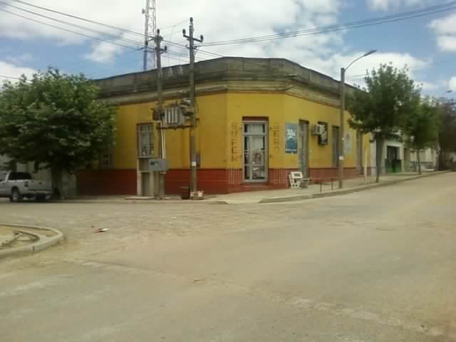
Vergara is a small city in the Treinta y Tres Department of eastern Uruguay.
Contents
- Map of Vergara Treinta y Tres Department Uruguay
- Location and geography
- History
- Population
- Places of worship
- References
Map of Vergara, Treinta y Tres Department, Uruguay
Location and geography
It is located between Route 18, which passes to the northwest, and on Route 91, which passes to the southeast, and about 54 kilometres (34 mi) northeast of Treinta y Tres, the capital city of the department. The stream Arroyo Parao flows along the northeast limits of the town.
History
On 10 March 1903, the group of houses here was declared a "Pueblo" (village) by the Act of Ley Nº 2.788. On 13 December 1994, its status was elevated to "Cuidad" (city) by the Act of Ley Nº 16.668
Population
In 2011, Vergara had a population of 3,810.
Source: Instituto Nacional de Estadística de Uruguay
Places of worship
References
Vergara, Uruguay Wikipedia(Text) CC BY-SA