
Area 5.68 km² Local time Sunday 9:07 AM | Elevation 6 m (20 ft) Population 7,906 (2013) | |
 | ||
Weather 6°C, Wind W at 14 km/h, 91% Humidity | ||
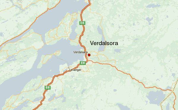
Verdalsøra is a town in the municipality of Verdal in Nord-Trøndelag county, Norway. The town is the administrative center of the municipality. It is located along the Trondheimsfjord at the mouth of the river Verdalselva. The village of Vinne lies 4 kilometres (2.5 mi) to the southeast, Trones lies about 5 kilometres (3.1 mi) to the north, the villages of Forbregd/Lein lie about 4 kilometres (2.5 mi) to the northeast (along the lake Leksdalsvatnet), and the village of Stiklestad lies about 3 kilometres (1.9 mi) to the east. In 1998, Verdalsøra declared itself a town.
Map of 7650 Verdalsora, Norway
European route E6 and the Nordland Line run north and south through the town, with one railway stop in the town: Verdal Station. The 5.68-square-kilometre (2.19 sq mi) town has a population (2013) of 7,906. The population density of Verdalsøra is 1,392 inhabitants per square kilometre (3,610/sq mi). Aker Verdal has a large shipyard in Verdal. Verdalsøra Chapel is located in the town. Verdalsøra is also the location of the local secondary school, Verdal videregående skole and a folk high school (Norwegian: folkehøyskole). The Rinnleiret beach area lies just south of the town, on the border with Levanger.