
City Chilliwack Time zone PST (UTC-8) Area code +1-604 | Postal code V2P | |
 | ||
Restaurants Maru Sushi, Moonlily Restaurant, Vedder Sushi, Gon Sushi, Garrison Bistro | ||
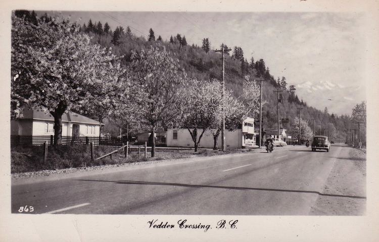
Vedder Crossing is adjacent to the junction of the Chilliwack and Vedder Rivers at its southern boundary, and Promontory Road to the north.
Contents
Map of Sardis, Chilliwack, BC, Canada
History
The area was sparsely populated until about 1941 when CFB Chilliwack was established (then called Camp Chilliwack) between Vedder Road and Keith Wilson. The base became a major training facility for the Canadian Army until its closing in 1997. Part of CFB Chilliwack became a residential subdivision known as Garrison Crossing, and its training facilities became the Canada Education Park, a campus for a number of post-secondary schools. The Chilcotin Training Area, better known as Area C, is still operational and is part of Western Area Training Centre (WATC). Area C is used by the Primary Reserves units of British Columbia for field training and for the use of its firing ranges. The ASU is also used by Cadets for field training. The ASU also houses supply depots for the Canadian Army units of 39 Canadian Brigade Group, and the cadet units of BC. The old quartermaster warehouse is now the Canadian Military Education Centre Museum.