
Location Iceland Mountain type Fissure vents of Hekla Last eruption 1200 | Age of rock Tephrochronology Elevation 1,235 m | |
 | ||
Similar Esjufjöll, Theistareykjarbunga, Prestahnúkur, Ljósufjöll, Loki‑Fögrufjöll | ||
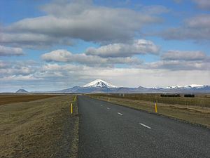
Vatnafjöll is a 40 km (25 mi) long, 9 km (6 mi) wide basaltic fissure vent system that is located southeast of Hekla, Iceland. It is part of the same system as Hekla. More than two dozen eruptions have occurred at Vatnafjöll during the Holocene Epoch. Vatnafjöll last erupted about 1200 years ago.
Map of Vatnafj%C3%B6ll, Iceland
References
Vatnafjöll Wikipedia(Text) CC BY-SA