
Intercommunality Pays Sostranien Area 17.68 km² Population 266 (1999) | Time zone CET (UTC+1) Local time Saturday 1:12 PM | |
 | ||
Weather 11°C, Wind SW at 14 km/h, 75% Humidity | ||
Vareilles is a commune in the Creuse department in the Nouvelle-Aquitaine region in central France.
Contents
Map of 23300 Vareilles, France
Geography
A farming area comprising the village and several hamlets situated some 23 miles (37 km) northwest of Guéret at the junction of the D10, D1 and the D71 roads.
The Benaize river flows through the commune and forms part of its western border.
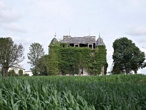
Sights
References
Vareilles, Creuse Wikipedia(Text) CC BY-SA