
Country Armenia Time zone GMT+4 (UTC+4) Population 9,880 (2011) Founded Russo-Turkish War | Elevation 1,994 m (6,542 ft) Postal code 1418 Local time Saturday 3:02 PM Marz province Gegharkunik Province | |
 | ||
Weather 2°C, Wind W at 6 km/h, 97% Humidity | ||
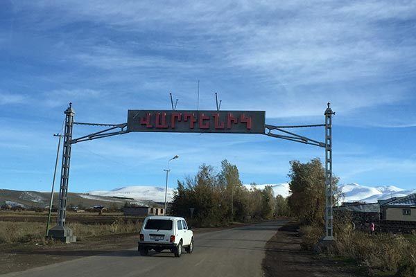
Vardenik (Armenian: Վարդենիկ; until 1945, Gezeldara, Nerkin Gezaldara, Gyuzeldara, and Nizhnyaya Gezaldara), is a major village in the Gegharkunik Province of Armenia that sits along the Vardenis River. It was founded in 1828-29 by emigrants from Mush. There are the cyclopean fort ruins of Kaftarli 3 km south, with petroglyphs downhill along the bank of the river. Some churches and shrines can be found in the vicinity.
Map of Vardenik, Armenia
The village is the largest rural community in Armenia by population.
References
Vardenik Wikipedia(Text) CC BY-SA