
Time zone Central (CST) (UTC-6) GNIS feature ID 1370583 Area 4.9 km² Population 411 (2000) | FIPS code 48-74984 Elevation 12 m Zip code 77991 Area code Area code 361 | |
 | ||
Country United States of America | ||
Vanderbilt is a census-designated place (CDP) in Jackson County, Texas, United States. The population was 411 at the 2000 census.
Contents
Map of Vanderbilt, TX, USA
History
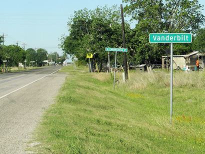
Vanderbilt is located on Farm Road 616 in SE Jackson County. The town started up in 1904, built around the new railroad station of the old Mitchell spread in the George Ewing league. The railway through the town is the location of St. Louis, Brownsville, and Mexico Railway, and has served as a trade center for local farmers and traders. Many stores were built in Vanderbilt, and once, there was even a hotel installed in the town. As the town expanded, the old mail delivery system was no longer an easy means of carriage, so a Post Office was built in 1907 and kept serving through '88, when a new one was built (zip: 77991). By 1945, Vanderbilt had a population of 300 and about 10 stores and trading posts. In 1962, when the town population reached its all time climax of 900, the town experienced a decline in population, due to relocation and migration. By 1971, the town was back down to 667, where it remained stable until 1990. Then, there were only 5 stores remaining in town, and the population decreased by the hundreds.
Geography
Vanderbilt is located at 28°49′20″N 96°36′57″W (28.822110, -96.615708).
According to the United States Census Bureau, the CDP has a total area of 1.9 square miles (4.9 km2), all of it land.
Demographics
As of the census of 2000, there were 411 people, 146 households, and 111 families residing in the CDP. The population density was 217.2 people per square mile (84.0/km²). There were 163 housing units at an average density of 86.1/sq mi (33.3/km²). The racial makeup of the CDP was 65.94% White, 10.46% African American, 0.24% Native American, 20.19% from other races, and 3.16% from two or more races. Hispanic or Latino of any race were 32.12% of the population.
There were 146 households out of which 41.1% had children under the age of 18 living with them, 56.8% were married couples living together, 11.6% had a female householder with no husband present, and 23.3% were non-families. 22.6% of all households were made up of individuals and 10.3% had someone living alone who was 65 years of age or older. The average household size was 2.82 and the average family size was 3.32.
In the CDP, the population was spread out with 30.4% under the age of 18, 10.9% from 18 to 24, 25.8% from 25 to 44, 23.1% from 45 to 64, and 9.7% who were 65 years of age or older. The median age was 35 years. For every 100 females there were 98.6 males. For every 100 females age 18 and over, there were 107.2 males.
Education
Vanderbilt is served by Industrial Independent School District and is home to the Industrial High School Cobras.
The closest colleges to Vanderbilt are Victoria College [Victoria, TX] (27 mi; 2,511 students), Wharton County Junior College [Wharton, TX] (50 mi; 3,124 students), and Coastal Bend College [Beeville, TX] (83 mi; 2,150 students). The closest major university is the University of Houston–Victoria [Victoria, TX] (30 mi; 4,491 students).