
Country United States GNIS feature ID 453945 Local time Friday 10:33 PM | FIPS code 18-78452 Elevation 179 m Population 2,972 (2010) | |
 | ||
Weather 4°C, Wind N at 16 km/h, 90% Humidity Area 97.18 km² (97.07 km² Land / 8 ha Water) | ||
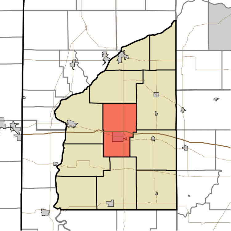
Van Buren Township is one of eleven townships in Fountain County, Indiana. As of the 2010 census, its population was 2,972 and it contained 1,308 housing units.
Contents
- Map of Van Buren Township IN USA
- Geography
- Cities and towns
- Unincorporated towns
- Major highways
- Cemeteries
- References
Map of Van Buren Township, IN, USA
Geography
According to the 2010 census, the township has a total area of 37.52 square miles (97.2 km2), of which 37.48 square miles (97.1 km2) (or 99.89%) is land and 0.03 square miles (0.078 km2) (or 0.08%) is water.
Cities and towns
Unincorporated towns
(This list is based on USGS data and may include former settlements.)
Major highways
Cemeteries
The township contains three cemeteries: Bonebrake, Cold Springs and Rock Field.
References
Van Buren Township, Fountain County, Indiana Wikipedia(Text) CC BY-SA