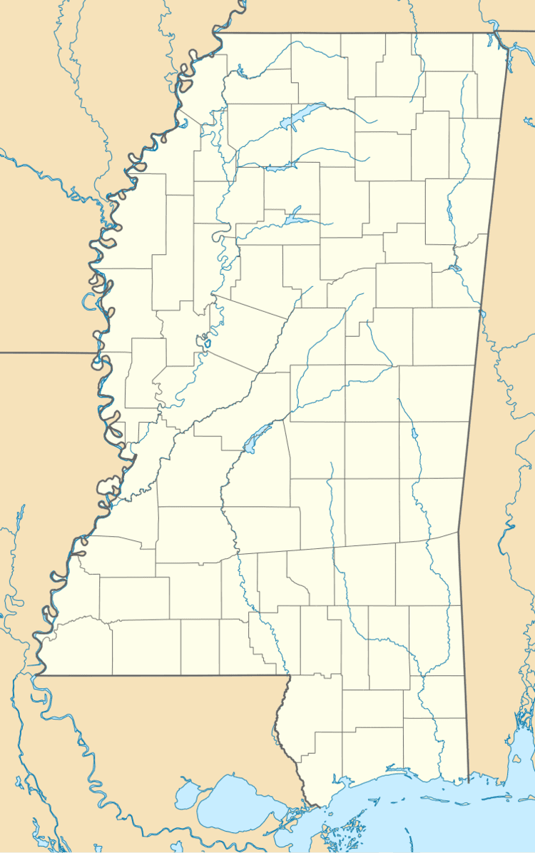
Country United States GNIS feature ID 679181 Local time Friday 9:36 PM | Time zone Central (CST) (UTC-6) Elevation 80 m | |
 | ||
Weather 15°C, Wind E at 2 km/h, 69% Humidity | ||
Van Buren is an ghost town located in Itawamba County, Mississippi.
Contents
Map of Van Buren, Mississippi 38858, USA
Once a busy port on the Tombigbee River, Van Buren is today a rural farm community.
History
Van Buren was located on a high bluff on the river's west bank. It was named for Martin Van Buren. North of Van Buren was Frog Level Swamp.
Before Fulton was made the county seat in 1837, private homes and stores were used to conduct government business, including the store house of Elisha Thomas at Van Buren.
Winfield Walker, a nephew of Winfield Scott, settled in Van Buren in 1838, and became a merchant.
By 1840, Van Buren was the largest town in Itawamba County, and had a busy river port. The populations of both Fulton and Van Buren grew with settlers through the 1840s, and both had blacksmith shops, doctor's offices, stores, and lawyer's offices.
The completion of the Mobile and Ohio Railroad west of Van Buren in the late 1850s caused river traffic to diminish; the railway "ruined it and the old site is now under cultivation".
