
Length 48 km Bridges Pont-des-Pierres | River mouth Rhone Country France | |
 | ||
Progression | ||
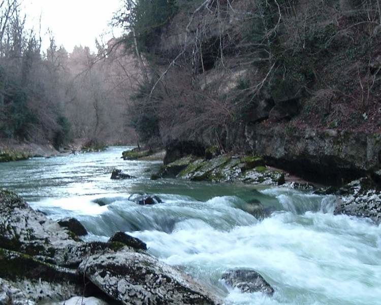
The river Valserine is a tributary of the Rhone that flows for 48 kilometres (30 mi) from the Col de la Faucille in the Jura Mountains to its confluence with the Rhone at Bellegarde-sur-Valserine. The Valserine valley has great charm and includes the Pont-des-Pierres that spans the river between Montanges and Mulaz, and the pertes de la Valserine, a canyon in which during the dry season the Valserine runs underground.
Map of La Valserine, France
The river flows through the village of Mijoux and is the border between Ain a department of the Rhône-Alpes region, and Jura a department of the Franche-Comté region.
References
Valserine Wikipedia(Text) CC BY-SA