
Foundation December 8, 1568 Time zone CST (UTC−6) Population 12,919 (2010) | Elevation 1,890 m (6,200 ft) Website Official website Local time Friday 6:18 PM | |
 | ||
Weather 23°C, Wind SW at 37 km/h, 10% Humidity | ||
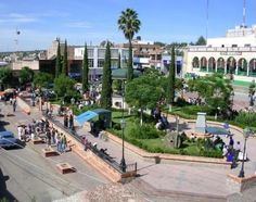
Valparaíso ([balpaɾaˈiso]) is a town in the north central Mexican state of Zacatecas.
Contents
Map of Valpara%C3%ADso, Zacatecas, Mexico
Geography
It is located at 22°46′0″N 103°34′0″W on the interior plateau, 70 mi/113 km E of Zacatecas City, at an elevation of 6200 ft/1890m.
History
Valparaíso was first a village and then hacienda along with the San Mateo and a few others formed the extensive county of Valparaíso, property of the counts of the same title one of them Don Fernando de la Campa y Cos, was a very rich man also involved in philanthropy building infrastructure for the Catholic Church. Later in 1824, Valparaiso becomes a municipality. In March 13, 1845 Valparaíso was declared a villa and in 1918 it became an independent municipality in accord with the Mexican constitution.
Economy
Valparaíso is an agricultural center for corn, wheat, chickpeas, alfalfa, chiles and beef, pork, sheep, and goat.