
Elevation 1,579 m | Time zone MST (UTC-7) Population 59 (2010) | |
 | ||
Area 78 ha (78 ha Land / 21 ha Water) | ||
Valmont is a census-designated place (CDP) in Boulder County, Colorado, United States. The population as of the 2010 Census was 59.
Contents
Map of Valmont, CO 80301, USA
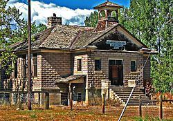
Valmont was platted in 1865, and named for the valleys and peaks near the town site. A post office called Valmont was established in 1865, and remained in operation until 1901.
Geography
Valmont is located in southeastern Boulder County, east of the city of Boulder, between Boulder Creek to the north and 200-foot-tall (60 m) Valmont Butte to the south. Valmont Road runs through the center of the community.
According to the U.S. Census Bureau, the Valmont CDP has an area of 0.35 square miles (0.9 km2), of which 0.27 square miles (0.7 km2) is land and 0.077 square miles (0.2 km2), or 23.63%, is water.
References
Valmont, Colorado Wikipedia(Text) CC BY-SA