
FIPS code 19-80175 Elevation 267 m Zip code 50054 Local time Tuesday 1:09 AM | Time zone Central (CST) (UTC-6) GNIS feature ID 0462514 Area 13 ha Population 57 (2013) Area code 515 | |
 | ||
Weather 9°C, Wind W at 14 km/h, 92% Humidity | ||
Valeria is a city in Jasper County, Iowa, United States. The population was 57 at the 2010 census.
Contents
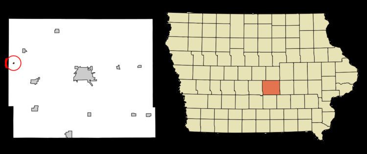
Map of Valeria, IA 50054, USA
History
Valeria had its start in the year 1883 by the building of the Chicago Great Western Railway through that territory.
Geography
Valeria's longitude and latitude coordinates
in decimal form are 41.730538, -93.324695.
According to the United States Census Bureau, the city has a total area of 0.05 square miles (0.13 km2), all of it land.
2010 census
As of the census of 2010, there were 57 people, 22 households, and 14 families residing in the city. The population density was 1,140.0 inhabitants per square mile (440.2/km2). There were 26 housing units at an average density of 520.0 per square mile (200.8/km2). The racial makeup of the city was 96.5% White and 3.5% African American.
There were 22 households of which 22.7% had children under the age of 18 living with them, 54.5% were married couples living together, 9.1% had a female householder with no husband present, and 36.4% were non-families. 27.3% of all households were made up of individuals. The average household size was 2.59 and the average family size was 3.29.
The median age in the city was 43.5 years. 26.3% of residents were under the age of 18; 3.6% were between the ages of 18 and 24; 22.9% were from 25 to 44; 28.1% were from 45 to 64; and 19.3% were 65 years of age or older. The gender makeup of the city was 56.1% male and 43.9% female.
2000 census
As of the census of 2000, there were 62 people, 24 households, and 19 families residing in the city. The population density was 1,394.9 people per square mile (598.5/km²). There were 28 housing units at an average density of 629.9 per square mile (270.3/km²). The racial makeup of the city was 98.39% White, and 1.61% from two or more races.
There were 24 households out of which 33.3% had children under the age of 18 living with them, 66.7% were married couples living together, and 20.8% were non-families. 16.7% of all households were made up of individuals and 4.2% had someone living alone who was 65 years of age or older. The average household size was 2.58 and the average family size was 2.95.
In the city, the population was spread out with 25.8% under the age of 18, 3.2% from 18 to 24, 37.1% from 25 to 44, 29.0% from 45 to 64, and 4.8% who were 65 years of age or older. The median age was 37 years. For every 100 females there were 121.4 males. For every 100 females age 18 and over, there were 109.1 males.
The median income for a household in the city was $35,938, and the median income for a family was $43,750. Males had a median income of $30,625 versus $23,333 for females. The per capita income for the city was $18,365. There were no families and 1.7% of the population living below the poverty line, including no under eighteens and none of those over 64.