
 | ||
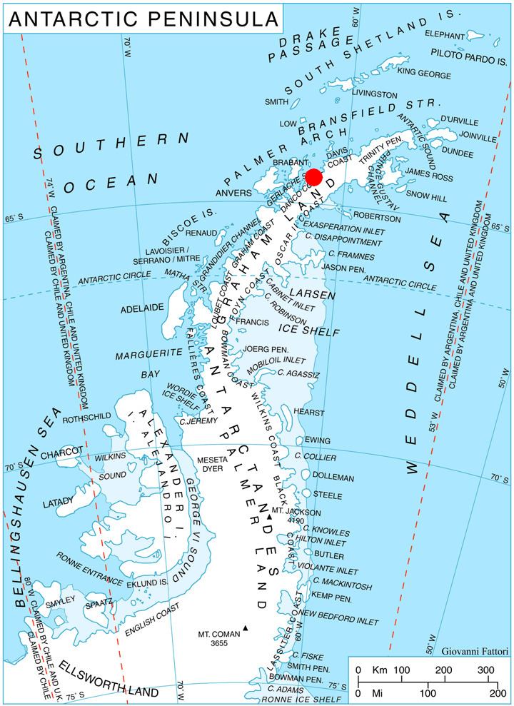
Valdivia Point (64°21′S 61°22′W) is a point forming both the northwest side of the entrance to Salvesen Cove and the north extremity of Pefaur (Ventimiglia) Peninsula on Danco Coast, Graham Land in Antarctica. Charted and named Valdivia Insel, after the German ship Valdivia, by the Swedish Antarctic Expedition under Nordenskjold, 1901-04. Air photos taken by the Falkland Islands and Dependencies Aerial Survey Expedition (FIDASE) in 1956-57 show the feature to be joined to the mainland.
Map
References
Valdivia Point Wikipedia(Text) CC BY-SA