
 | ||
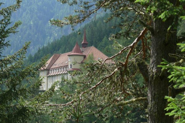
The Val Sinestra (Romansh lit.: "left valley") is a valley of the Swiss Alps, located in the Engadin between the Silvretta and the Samnaun ranges. The valley is drained by La Brancla, a tributary of the Inn basin, near Ramosch. The highest mountains in the Val Sinestra are the Muttler (3,293 m), Piz Tschütta (3,254 m) and Piz Tasna (3,179 m). The valley is approximately 10 kilometres long.
Map of Val Sinestra, 7554 Scuol, Switzerland
The valley belongs to the municipalities of Sent and Ramosch in the Swiss canton of Graubünden. The main localities in Val Sinestra are Zuort and Vnà.
The Val Sinestra is connected to the Val Fenga by the 2,608 metre high pass named Cuolmen d'Fenga.
References
Val Sinestra Wikipedia(Text) CC BY-SA