
Country Canada RCM Abitibi-Ouest Constituted April 1, 1939 Area 108.2 km² Province Québec | Region Abitibi-Témiscamingue Settled c. 1935 Elevation 345 m (1,132 ft) Population 178 (2011) | |
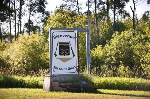 | ||
Val-Saint-Gilles is a municipality in northwestern Quebec, Canada, in the Abitibi-Ouest Regional County Municipality about 24 kilometres (15 mi) north of La Sarre. It covers 110.54 km² and with a population of 154 in the Canada 2006 Census, it is the least populous incorporated municipality in the regional county.
Contents
Map of Val-Saint-Gilles, QC, Canada
It lies at the northern edge of the Abitibi Clay Belt. The undulating land is dotted with swamps, a few small lakes, and sand and gravel deposits. Its high point is marked by two hills near the village with an altitude of 345 metres (1,132 ft). The Turgeon River, the only notable river and tributary of the Harricana River, flows through the north-western part of the municipality.
History
The first settlers, arriving circa 1935 as part of the Vautrin Settlement Plan, came from Clermont, Montreal, and Mont-Laurier. In 1937, they founded the Saint-Gilles-de-Clermont Parish, and two years later, the place separated from Clermont Township and was incorporated as the Municipality of Val-Saint-Gilles, named after Saint Giles.
But because of the harsh land, the settlers could barely make a living and many soon left, reducing the population from over 600 persons to less than 200 today. Its residents mostly commute to La Sarre and the surrounding area, working particularly in the mining and forestry sectors.