
Length 4.4 km (2.73 mi) Highest elevation 163 m (535 ft) County Sogn og Fjordane Area 9 km² | Width 3.5 km (2.17 mi) Highest point Høgkletten Elevation 163 m | |
 | ||
Location Sogn og Fjordane, Norway | ||
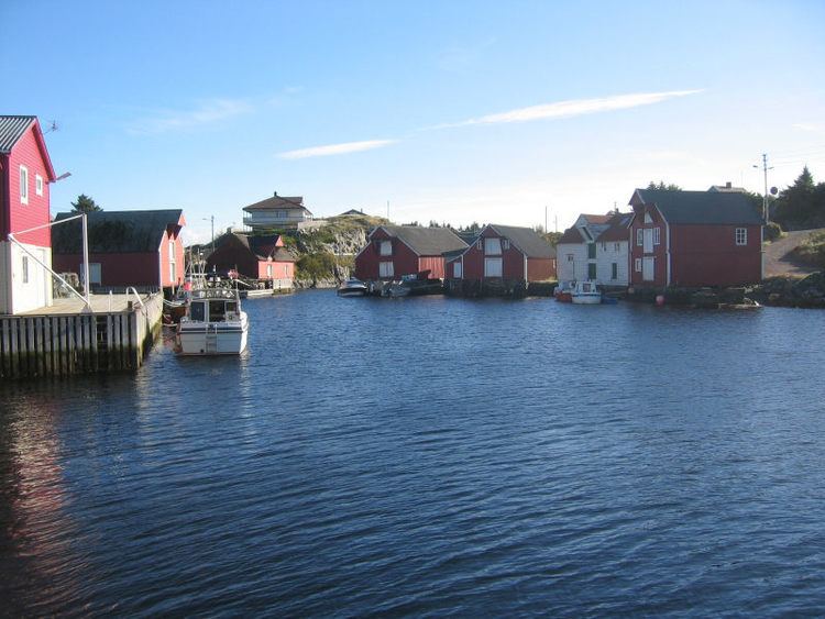
Værlandet is an island in Askvoll Municipality in Sogn og Fjordane county, Norway. The 9-square-kilometre (3.5 sq mi) island lies immediately east of the Bulandet island group. The island of Alden lies about 2 kilometres (1.2 mi) northeast of Værlandet. The island lies about 16 kilometres (9.9 mi) west of the mainland coast of Askvoll, and it is only accessible by boat. There is a regular ferry route connecting Værlandet to the mainland village of Askvoll. There is a series of bridges that connect Værlandet to the islands of Bulandet to the west. Værlandet Chapel is located on the island. The Værlandet LORAN-C transmitter is located on the island.
Map of V%C3%A6rlandet, 6986 V%C3%A6rlandet, Norway
References
Værlandet Wikipedia(Text) CC BY-SA