
District Uherské Hradiště Elevation 320 m Local time Wednesday 2:03 PM | Postal code 687 37 Area 3.72 km² | |
 | ||
Weather 14°C, Wind NW at 13 km/h, 63% Humidity | ||
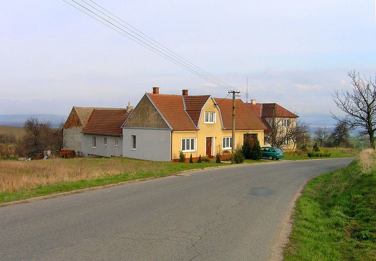
Vážany is a village and municipality (obec) in Uherské Hradiště District in the Zlín Region of the Czech Republic.
Map of 687 37 V%C3%A1%C5%BEany, Czechia
The municipality covers an area of 3.72 square kilometres (1.44 sq mi), and has a population of 409 (as at 28 August 2006).
Vážany lies approximately 12 kilometres (7 mi) west of Uherské Hradiště, 34 km (21 mi) south-west of Zlín, and 240 km (149 mi) south-east of Prague.
References
Vážany (Uherské Hradiště District) Wikipedia(Text) CC BY-SA