
Width 3.4 km (2.11 mi) Highest elevation 71 m (233 ft) Elevation 71 m Local time Monday 11:43 AM | Length 2.9 km (1.8 mi) Coastline 13 km (8.1 mi) Highest point Araseto Area 5.9 km² Municipality Utsira | |
 | ||
Weather 6°C, Wind SE at 27 km/h, 95% Humidity | ||
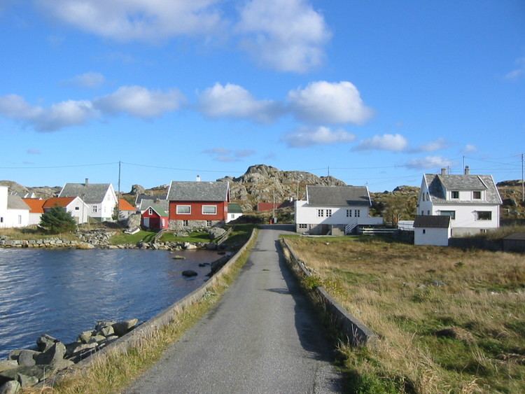
Utsira is an island in Rogaland county, Norway. Utsira Church and Utsira Lighthouse are located on the island.
Map of Utsira, 5547 Utsira, Norway
The 5.9-square-kilometre (2.3 sq mi) island makes up almost all of Utsira municipality. The island lies about 18 kilometres (11 mi) west of the island of Karmøy, with the Sirafjorden lying between the two islands. The island is only connected to the mainland by ferry. There are four regular ferry routes connecting the island to the town of Haugesund each day. The ferries are operated by Rutebåten Utsira.
Most of the island's population lives in the central valley that runs north-south on the island. There are about 200 residents of the island.
Utsira is known as the best birding site in Norway. There have been 317 different species recorded on Utsira.