
 | ||
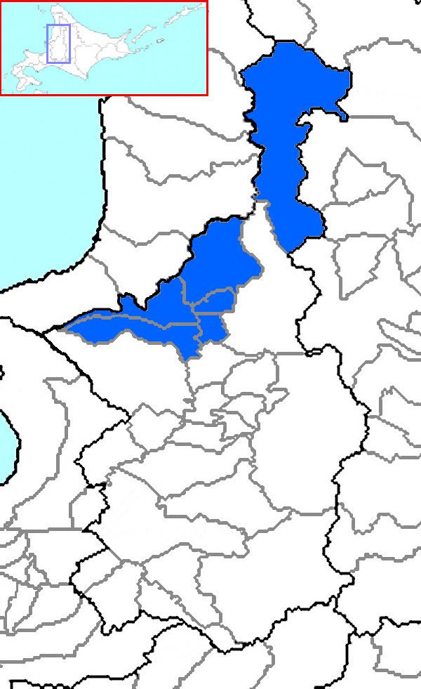
Uryū (雨竜郡, Uryū-gun) is a district divided between Sorachi and Kamikawa Subprefectures, Hokkaido, Japan.
Contents
- Map of Uryu District Hokkaido Prefecture Japan
- Kamikawa Subprefecture
- Sorachi Subprefecture
- Changes
- References
Map of Uryu District, Hokkaido Prefecture, Japan
As of 2004, the district has an estimated population of 18,996 and a density of 12.70 persons per km². The total area is 1,495.78 km².
Kamikawa Subprefecture
Sorachi Subprefecture
Changes
On April 1, 2010, Horokanai was transferred from Sorachi Subprefecture to Kamikawa Subprefecture. As such Uryū District was now also part of the latter subprefecture.
References
Uryū District, Hokkaido Wikipedia(Text) CC BY-SA