
Country United States Time zone CST (UTC-6) Area 158.1 km² Population 1,073 (2010) | Established November 6, 1849 Elevation 145 m Local time Sunday 9:10 PM | |
 | ||
ZIP codes 62301, 62351, 62376, 62379 Weather 21°C, Wind E at 10 km/h, 51% Humidity | ||
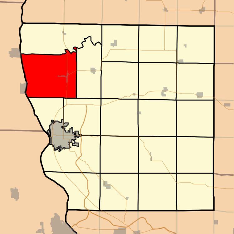
Ursa Township is one of twenty-two townships in Adams County, Illinois, United States. As of the 2010 census, its population was 1,073 and it contained 507 housing units.
Contents
- Map of Ursa Township IL USA
- Geography
- Cities
- Unincorporated towns
- Cemeteries
- Major highways
- Airports and landing strips
- Lakes
- School districts
- Political districts
- References
Map of Ursa Township, IL, USA
Geography
According to the 2010 census, the township has a total area of 61.03 square miles (158.1 km2), of which 57.22 square miles (148.2 km2) (or 93.76%) is land and 3.81 square miles (9.9 km2) (or 6.24%) is water.
Cities
Unincorporated towns
Cemeteries
The township contains six cemeteries: Booth, Denson, Keith, New Providence, Stone Family and Wesley Chapel.
Major highways
Airports and landing strips
Lakes
School districts
Political districts
References
Ursa Township, Adams County, Illinois Wikipedia(Text) CC BY-SA