
Incorporated (Village) N/A Time zone AST Area 380.2 km² Area code 902 | Post office Founded N/A Incorporated (Town) N/A Telephone exchange 902-568 Population 473 (2006) | |
 | ||
Weather 0°C, Wind N at 21 km/h, 95% Humidity | ||
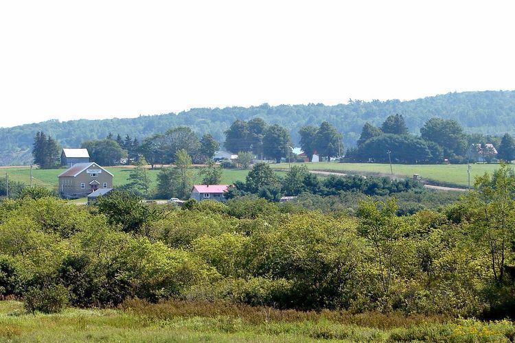
Upper Musquodoboit is a forestry and farming community in the northeastern reaches of the Musquodoboit Valley, in the Halifax Regional Municipality, Nova Scotia, Canada, 75 kilometres (47 mi) from Downtown Halifax. The community is located along the Musquodoboit River. The community had a population of 473 at the 2006 Census and the community has an area of 380.25 square kilometres (146.82 sq mi).
Contents
Amenities
Upper Musquodoboit has 1 school: Upper Musquodoboit Elementary School, which teaches grades primary through 6. The school was built in 1962. In 2014, there were 41 students enrolled in the school. For children whom are grade 7 or higher, they go to Musquodoboit Rural High School (MRHS) for school. Upper Musquodoboit also has a convenience store, an auto-body shop and a limestone mine, named Mosher Limestone.
Transportation
Upper Musquodoboit is situated at the junction of Route 336 with Route 224.